

Point at the peaks.
Cimly shows the name of every peak in front of you, in augmented reality. Elevation, distance, and what a ridge hides from view: anywhere in the world, even offline.
Illustration of a view from Pau, France: real elevations, approximate distances. Borders show your status: climbed, favourite, hidden by terrain.
Augmented-reality camera
A name on every peak.
Point your phone at the horizon: the name, altitude and distance of each peak appear right where it stands, in the camera view.
See all features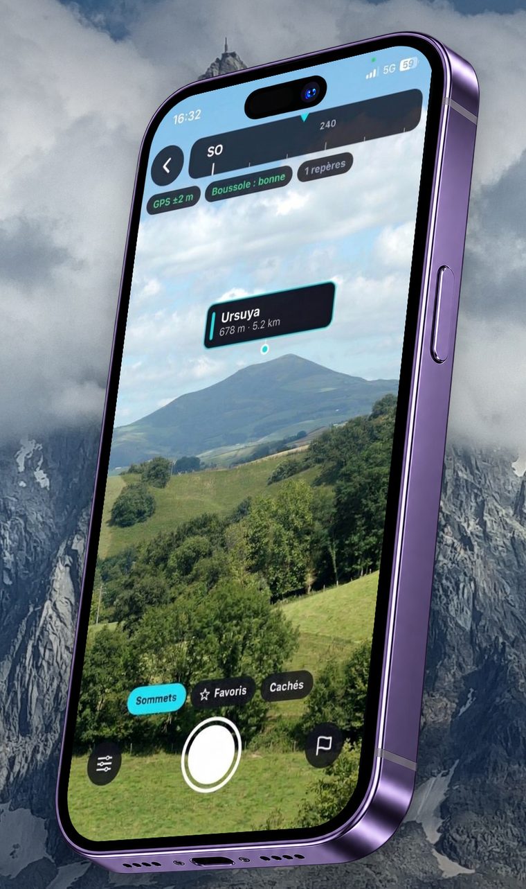
The border tells you where you stand.
In the camera, the panorama and your journal, a label’s colour follows your status with each peak.
- Vignemale3 298 mClimbed
You marked it as climbed.
- Vignemale3 298 mFavourite
You want to find it again or go there.
- Vignemale3 298 mNot marked yet
Visible, but no status.
- Hidden
A ridge blocks it from here.
Offline
Download your country, go without signal.
Peaks stay available with no connection: a few MB per country, downloaded once, ideally on Wi-Fi.
See all features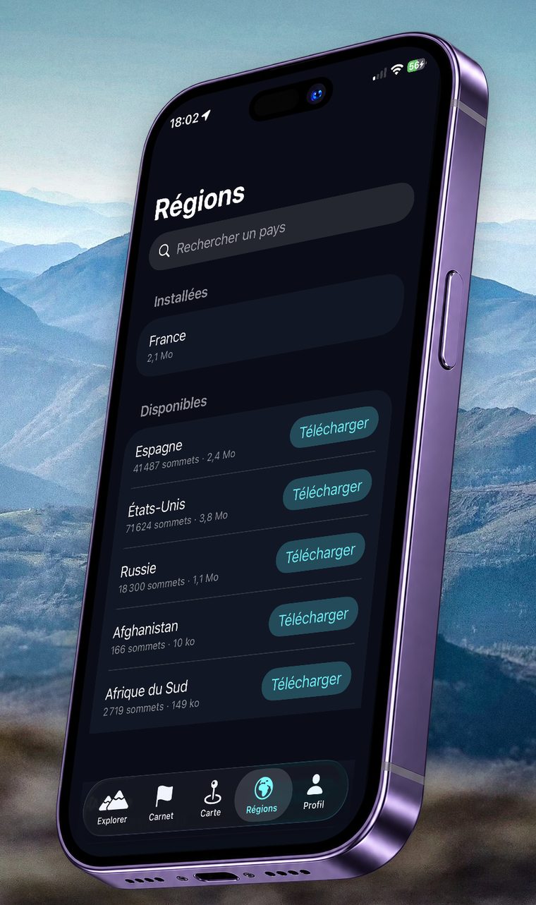
Summit journal
Climbed, favourite, discovered: all noted.
Your hiking history, with a collection sorted by altitude band.
See all features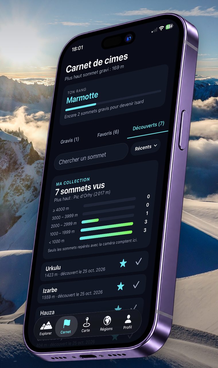
Weather and friends
Told about the clear views, in good company.
Alerts to know when the view will be clear, and a journal to compare with friends, without ever sharing your location.
See all features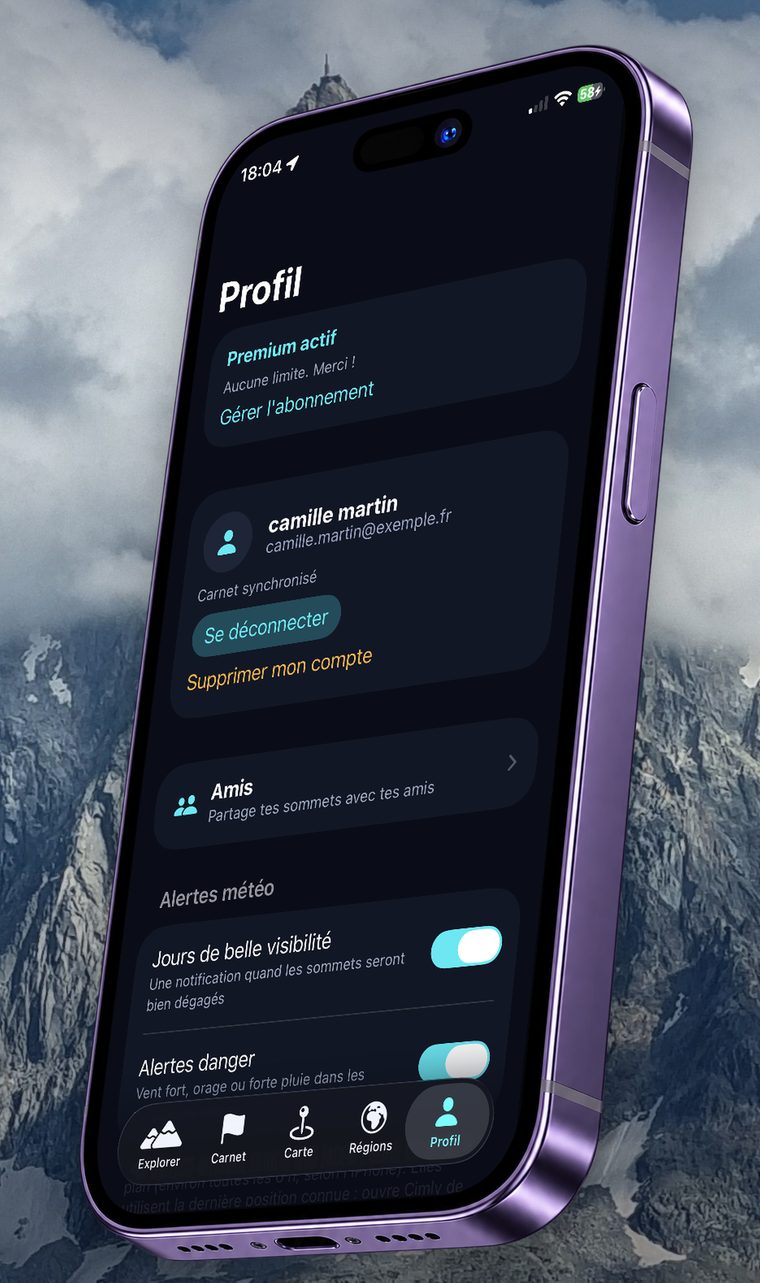
Free or Premium
Try it free, go Premium when you like.
The free version is a full demo. Premium removes the limits and the ads.
Compare free and Premium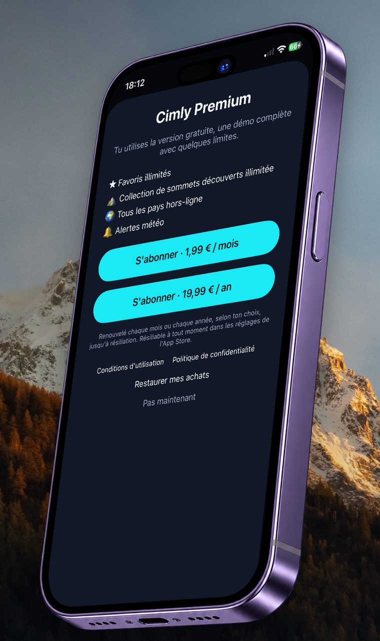
Ready in three moves
Download your country
In the Regions tab, choose the countries to keep on your phone, preferably on Wi-Fi.
Allow camera and location
The camera shows the landscape, the location places the peaks. Peaks are computed on your phone.
Point at the horizon
Names appear. Tap one to open its page.
Cimly at a glance
- What it is
- A mobile augmented-reality app that shows the name, elevation and distance of mountain peaks through your phone’s camera.
- Availability
- iPhone on the App Store and Android on Google Play.
- Price
- Free, with a few limits and ads. Premium: €1.99 per month or €19.99 per year (France, VAT included).
- Offline
- Yes, with country data packs of a few MB each.
- Coverage
- Worldwide, based on OpenStreetMap data.
- Account
- No account required to use the camera, the panorama and the map.
- Publisher
- An independent developer, based in France.
Your data, your phone
Local computing
Peaks, terrain and visibility are computed on your phone. Your photos stay there.
Optional account
Everything works without an account. Google sign-in only backs up your journal and lets you add friends.
Open data
Peaks from OpenStreetMap, Copernicus terrain, OpenFreeMap maps: every source is credited.
Six languages
French, English, Spanish, German, Italian and Portuguese.
Cimly is available.
On iPhone and on Android. Pick your store, the app is free to start.